I had a little alone time on my hands recently and decided it would be fun to make a solo road trip. Because I wanted only to be gone one day, I narrowed my options down to two choices. I could either: 1) drive the 4 hours to Lichtenstein, and see Lichtenstein or 2) I could drive the two-and-a-half hours to Interlaken for some snow-hiking. Considering the pros and cons of each, I decided that the shorter drive combined with the chance to be outside and to see the Eiger up close outweighed the appeal of being able to say, “Yep, I’ve been to Lichtenstein!”
So I packed myself a lunch and climbed into the car early one morning and off I went. As I neared Interlaken, about 20 kilometers from my ultimate destination at a town called Grindelwald, it became clear that it wasn’t going to be clear, and that I probably wasn’t going to get the unobstructed view of the Eiger that I had hoped for. Fortunately, I’m not that easily disappointed.
I continued on my way to Grindelwald, which I discovered was a great place to winter hike during my on-line research the day before. I didn’t know exactly where I was going to hike, only that there was good hiking somewhere in the vicinity. I parked the car, and went into a winter outfitter and asked a young man whether he spoke English, because this town is in the German speaking region of Switzerland, and what little I had picked up in Bern wasn’t going to help me here. Turned out, this young man not only spoke very good English, but was able to offer me some great advice on how to go about taking an awesome, albeit foggy, snow hike. He pointed across the street, directing me to the lift that takes skiers up to the top of the mountain – a place called Männlichen – and told me once I was up there, I could hike back down the mountain. I enthusiastically thanked him, and set off with a little hop in my step, pleased by this development that the hike would be entirely down hill! Seriously, how great is that?
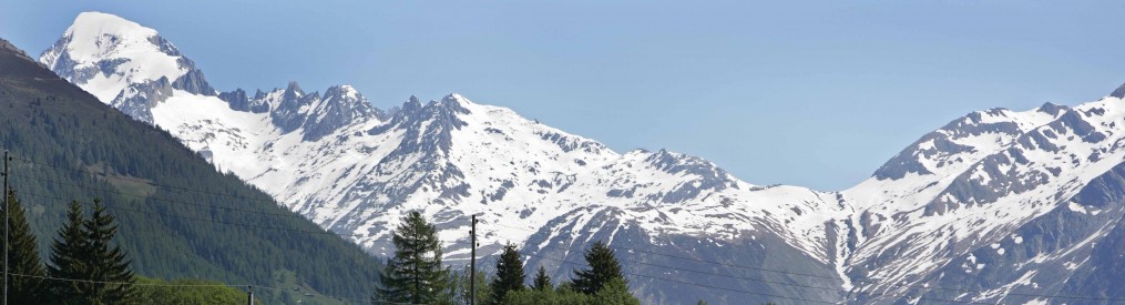
I parked the car in the lot, looked to the sky, hoping for a break in the clouds. Here’s the first photo I took, you can see a little bit of the Swiss alps trying to break through. This would be the last of the mountains I would see for a while.

For a minute, I thought maybe the clouds were going to break, but they didn’t.
I bought my lift ticket, then climbed into the smallish yellow cab that ferries skiers up the mountain. As I gained altitude, the snow started to fall harder. You can see it coming down in this photo that I took from inside the lift.
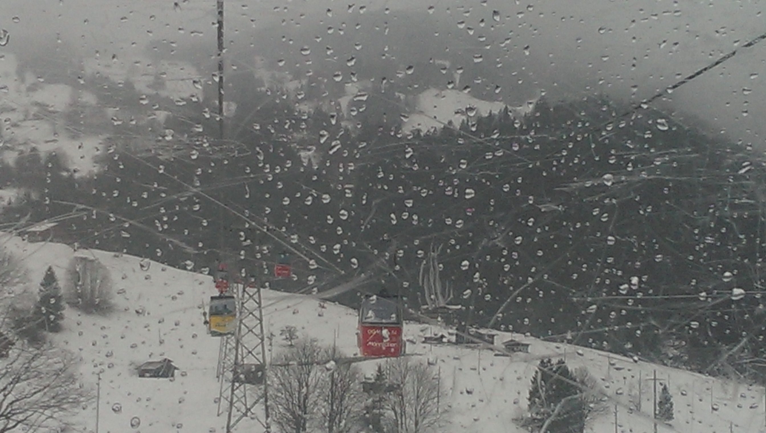
I was hoping for a clear day, but it was not to be. The snow’s pretty, though!
After the 25 minute ride up to the top, I went over to study the map of the trail network so I’d know where my trail was. Here’s the map. Look at all those trails! The black line at the bottom of the map (from Grindelwald up to Männlichen) shows the path of the lift I rode up on, and the squiggly blue line marked “61” is the trail I walked down. I think if you click on it, the map gets bigger.

Rode a lift from Grindelwald to Männlichen, hiked back down
The following video gives you a sense of the atmosphere up on top of the mountain where I set off on my snow hike.
Not much gets by me, and so I soon realized that I was the only person on the entire mountain not employing some sort of sliding apparatus to more easily (and rapidly) descend. Here’s a selfie I took with a few of my fellow winter adventurers, some of whom were curious enough to ask, “Did you forget your skis?”
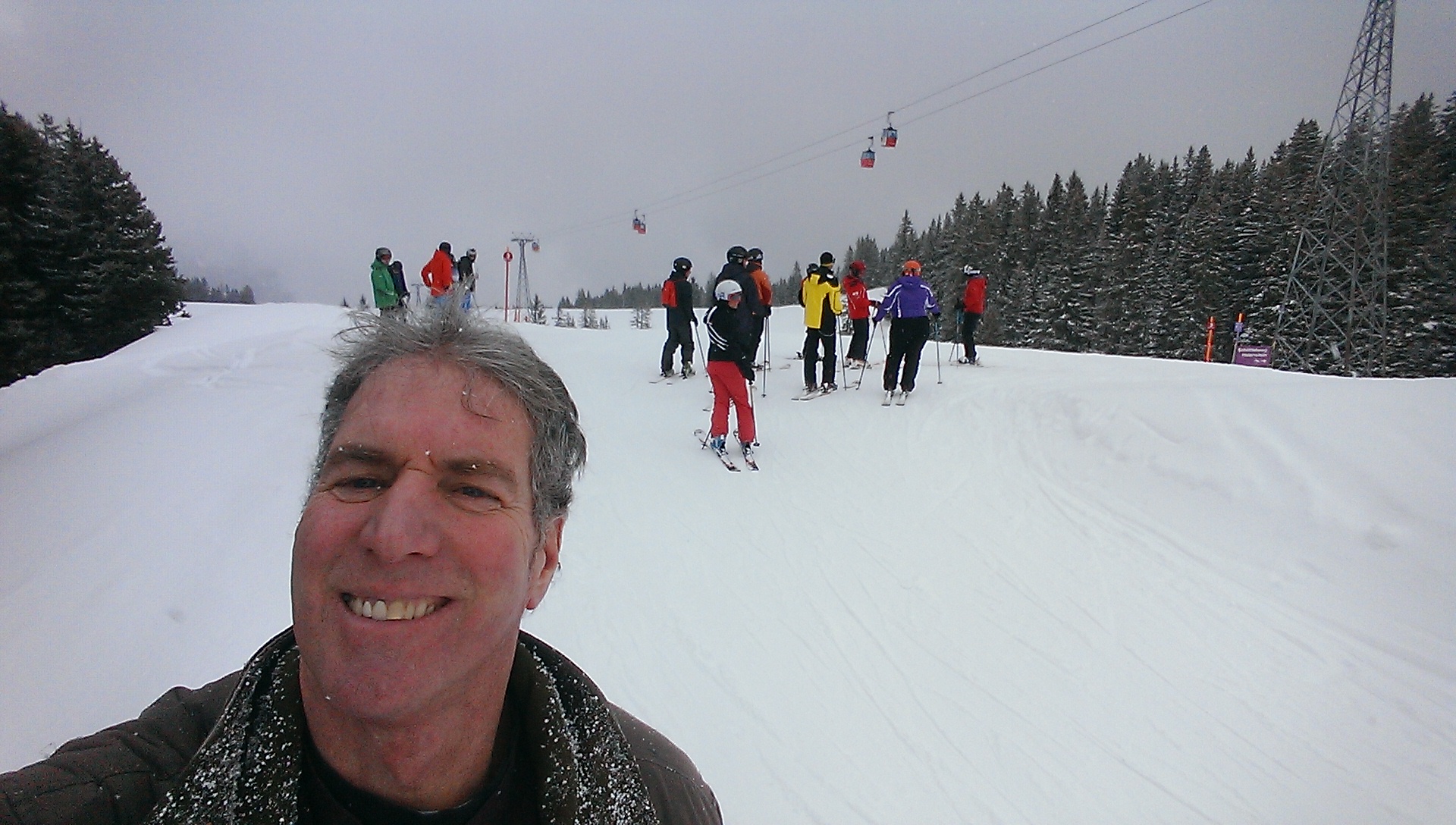
I was the only person on the mountain without skis or a snowboard.
You can even rent these toboggan type sleds to ride down the trail. Because they have big wide wooden runners they go very slow, however, even when the slope is relatively steep. So much of the time, people are walking along pulling them. I was happy to be on foot.
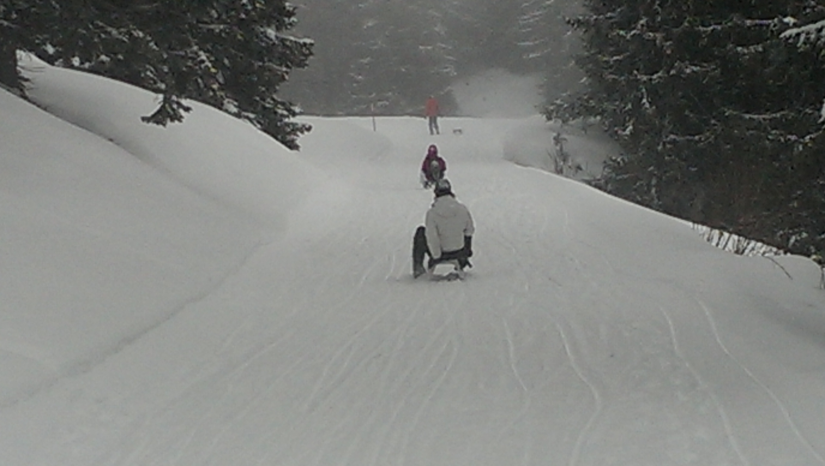
Slow sledders sliding down the slightly slippery slope.
On a couple of occasions, the hiking trail intersects the ski trail, which can get a little dicey if you aren’t the party traveling at high speed, which I wasn’t. Here I am attempting a crossing, trying to keep one eye uphill toward oncoming skiers, and the other on the nearly imperceptible trail.
The snow continued to fall – it’s called “snow hiking” after all, so what did I expect? – and after a while, it became harder and harder to identify the posts that marked my trail. The fact is, there are a lot of different posts marking various trails out there, and in the snow, they become at best, harder to distinguish from one another, and at worst, harder to locate at all. There is one point in the hike where the trail diverts far enough from the ski slopes that you completely lose contact with civilization.
I will at some point make it to Lichtenstein, but I definitely think I made the right choice on how to spend the day. Even without seeing much of the mountains.

Beautiful! What a fun snow hike!
Yep, it was snow much fun!
What an adventure!!!
I love Interlaken, but only saw it in the summer. Your picture of the alps ski map brought back memories for me. I could never read those things or often the trails are not marker well. WHERE IS YOUR HAT OR HEAD COVER? Glad you didn’t get lost …
Hat was in other hand. Just took it off for the video. I was plenty warm. Thanks for your concern, though!
What did you have for lunch?
A sandwich. Why? Am I boring you Dan?
No, I was wondering if you went the boy scout route (“Be Prepared”), and loaded up on reserve food & water…Just in Case. The answer is you didn’t.